Archive for the ‘Google Earth’ Category

China to renew border rail link with N. Korea

Monday, January 18th, 2010

tumen-chongjin.JPG tumen-rr-crossing.JPG
Click on images for larger versions

According to Yonhap:

China will mend a rail link between one of its border cities and a North Korean port, a source familiar with North Korean affairs said Sunday, a move that indicates stronger economic ties between the two allies.

North Korea and the municipal government of the Chinese city of Tumen, which borders the North, have recently agreed to repair the railway linking the city with North Korea’s northeastern port of Chongjin, the source said.

Additional Information: 

1. Above I have posted Google Earth images of the China-DPRK border area and a simple map of the DPRK’s North Eastern railway system.

2. Long-time readers will remember that Russia recently installed Russian-gague railway track from the North Korean border to the city of Rason (Rajin-Songbon). It looks like both Russia and China get their own ports in the DPRK.

3. Chongjin is also home to both Russian and Chinese consulates

Share

North Korea begins closing wholesale markets

Tuesday, January 12th, 2010

Institute for Far Eastern Studies (IFES)
NK Brief No.10-01-08-1
2010-01-08

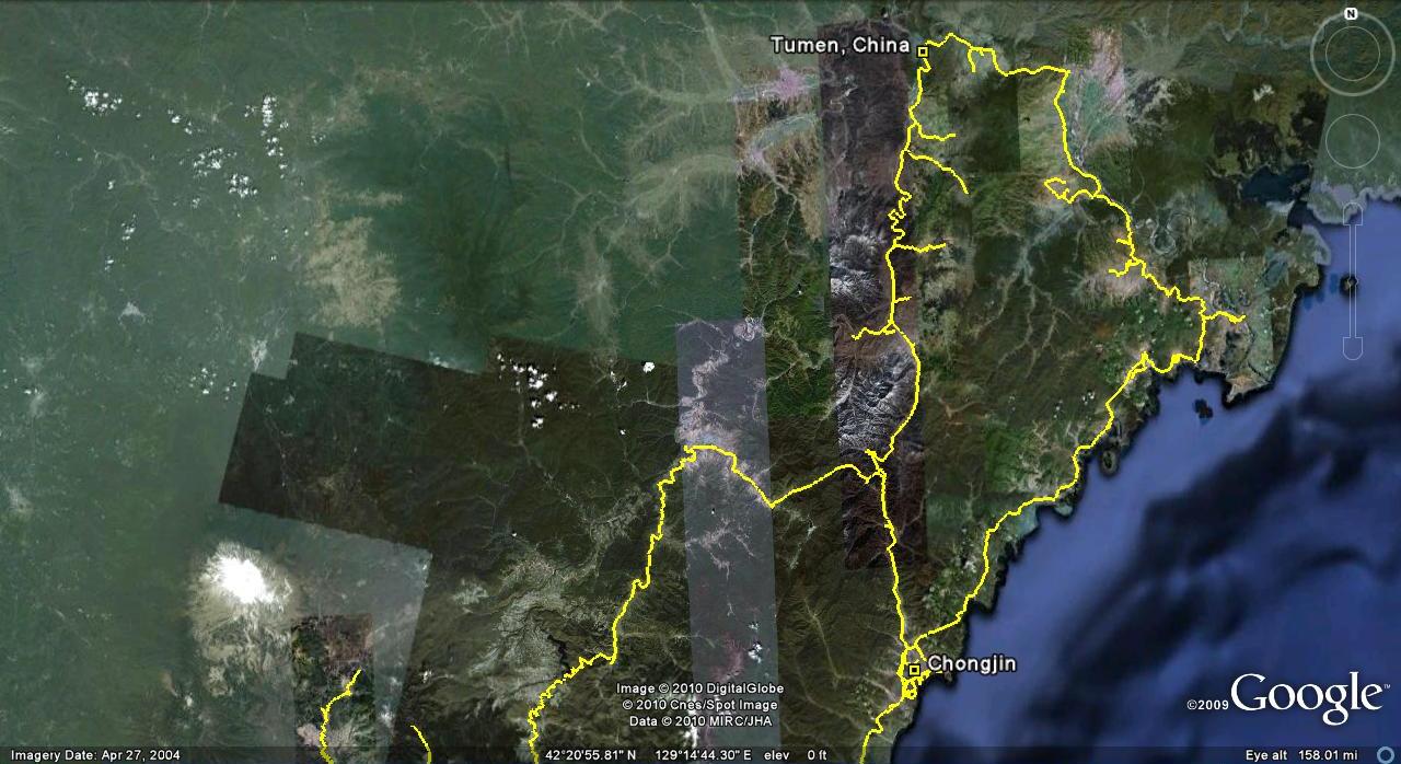
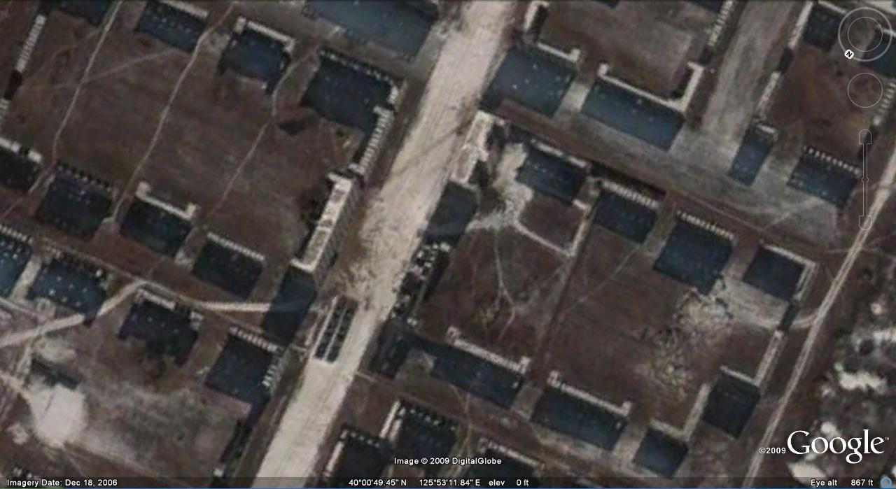
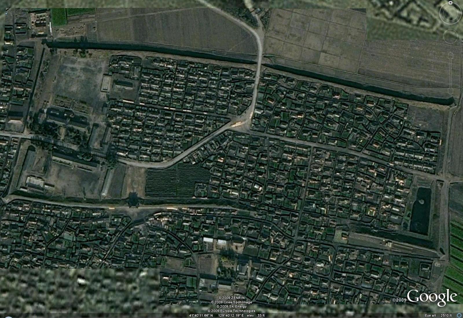
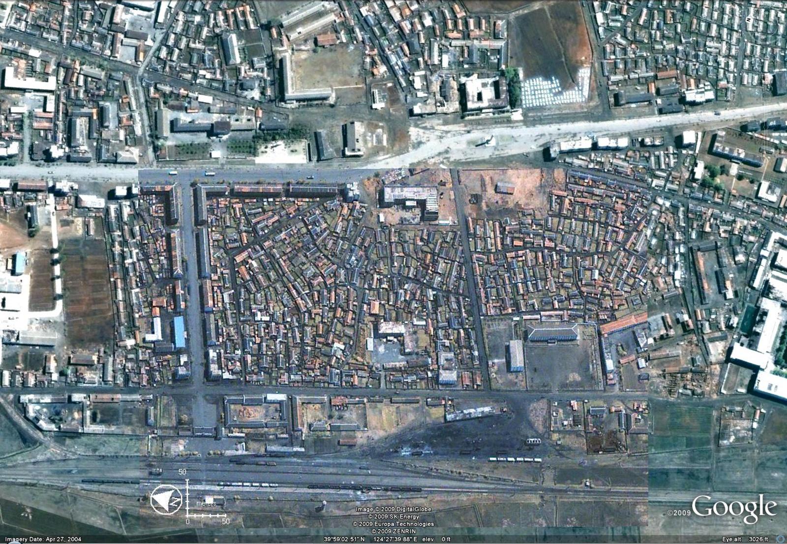
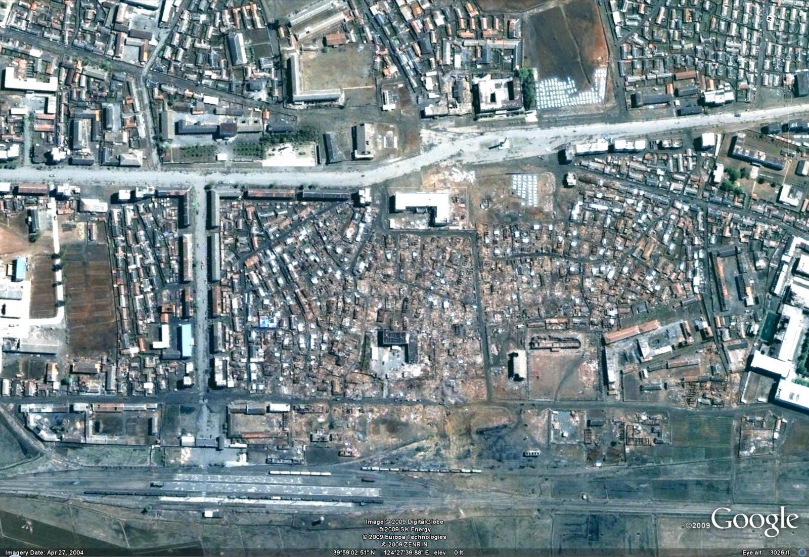
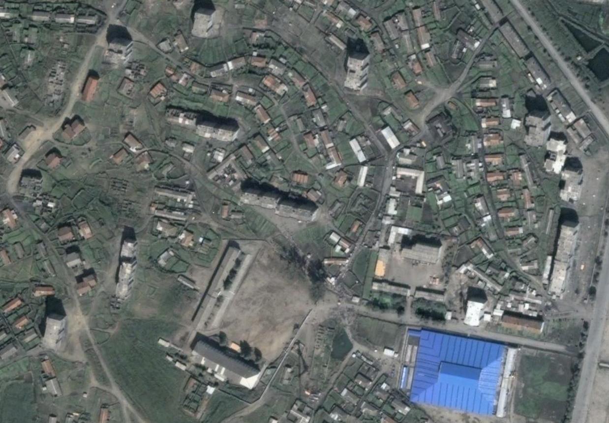
North Korean authorities appear to be closing regional, large-scale wholesale markets, one after another. According to the latest newsletter from the North Korean human rights group Good Friends (January 6), “Based on a Cabinet measure passed on December 30 of last year, North Korean authorities will suspend operations management of the Sunam Market in Cheongjin [LOCATION HERE] from the end of this March, effectively deciding to close [the market].”

Like the South Pyeongan Province Pyeongseong Market [LOCATION HERE] reportedly closed last year, the Sunam Market, North Korea’s representative wholesale market, was built less than five years ago. Good Friends reported that provincial authorities from North Hamgyeong Province plan to raze the market, located between Chumok and Cheongnam neighborhoods, and build a modern park and residential housing.

The newsletter revealed, “More than 40 percent of Cheongjin residents rely on the Sunam Market to maintain their lifestyles, and if the market is closed, there will be considerable consequences,” and added that those who trade in the market or rely on it for their shopping are already worried about how they will continue to put food on the table if the market gets shut down.

It has also been reported that the Chupyeong Market [LOCATION HERE], in the Sapo district of Hamheung City, South Hamgyeong Province, will also be closed. The Chupyeong Market, which attracts as many traders as the Pyeongseong Market, apparently specializes in the wholesale trade of imitation goods. Good Friends explains that the Chupyeong Market is a very busy and crowded market, with many shoppers coming and going, and this has also led to an increase in scams, thefts and other crimes. It is anticipated that following the closing of the Sunam Market early in the year, the next move authorities make will be to shut down the Chupyeong Market, as well.

A directive has been issued that North Korean authorities are to ban the sale of manufactured goods in the country’s permanent markets, and that all goods are to be sold only in state-sanctioned retail stores, and at state-set prices. However, sources inside the North report that traders are gauging the attitudes of local authorities, and often not turning over their goods for sale in retail stores. This, along with the North’s currency reform and ban on foreign currency, as well as the increase in farmers’ wages, has led to huge increases in exchange rates and prices.

Currently, workers in state-operated enterprises are being paid anywhere from 1,500 won to as much as 5,000 won per month. With the currency revaluation, this is considerably more than they were making before, but taking into account the massive increases in prices, as well, the impact of the higher wages is negligible.

Share

DPRK’s real-life potemkin village(s)

Wednesday, January 6th, 2010

Pyongyang is often referred to as a “potemkin village” because visitors to the city are often skeptical that what they see is representative of reality.  However while making updates to North Korea Uncovered this weekend, I stumbled on what appears to be an an actual “potemkin city” in the DPRK.  It is very large and appears to me to be used for military training–because frankly I can’t  immediately think of another use (probably too large for a movie set).  Here is an overview image of the facility:

 potemkin-overview.JPG
Click on image for larger version

The “main street” in this model city is appx .75km (running from NW to SE in the image) . The width of the city is .47km.  I checked very quickly to see if the city plan matched up with anywhere in Seoul, but could not find any similarities.  The compound itself looks very “Soviet” in design so it might not be a location in South Korea at all (It kind of reminds me of Bucharest).  The other possibilities are that it could be a location that no longer exists (I do not know how old this “training area” is) or it could be a model of a location that has never existed.

Here are a couple of close up images:

potemkin-closeup1.JPG  potemkin-closeup2.JPG
(Click images for larger version)

Here you can see how thin the “buildings” are as well as the sun shining through the facades and dotting the ground where the “windows” are.

You can see the facility in wikimapia here.  The coordinates are:  40° 0’52.32″N, 125°53’11.79″E.

If anyone has a better theory about this place, please let me know in the comments.  If I am wrong I would like to know before my reputation is completely destroyed.

UPDATE: In the comments, DCK points out another facility near Pyongyang:

 urban-training-2.JPG
Click image for larger version.

 This one is located at 38° 58.079′N, 126° 6.328′E.

Share

Syria’s Tishreen War Panorama

Wednesday, December 2nd, 2009

Visitors to Pyongyang’s Victorious Fatherland Liberation War Museum (Location here) will be interested to know that the DPRK has exported its museum technology to Syria’s Tishreen War Panorama (Location here).

syria-museum.JPGsyria-museum2.JPGsyria-museum3.JPG

The images are from this web page.

According to an official web page (I think), the panorama dimensions are 129.5m x 7.8m.  It was painted by Kim Sing Chol, O Kwang Ho, Ri Jae Su, Ri Kap Il, Kim Chol Jin, Choe Song Sik, Ri Jong Gap, Kim Ki Dok, Cha Yo Sang, Ri Yon Nam, and it opened on 6th October 1999.  These artists are employees of the Mansudae Overseas Development Group (Art Studio).

I thank a reader for sending me this information.  I have been mapping North Korean projects in Africa, Asia, and the Middle East on Google Earth.  Here are some I have blogged about: Monument to African Renaissanace, Zimbabwe Hero’s Park, Ethiopia’s Derg Monument, Kinshasa Kabila Statue, and quite a few more.  If you are aware of any North Korea projects in your area please let me know.

UPDATE: Cairo’s October War Panorama is also built by the North Koreans.   It appears to have nearly identical architecture.  It is located here.

Share

Friday grab bag

Thursday, November 12th, 2009

North Korean defector poetry: I am personally not a big fan of poetry, but some poetry written by North Korean defectors has been translated into English and published.  Read it in Radio Free Asia.

North Korean Leadership Compounds: We have pretty much located all of the “easy to find” leadership complexes in North Korea on Google Earth.  However, not all of them are visible with high resolution imagery.  Here are a few I have recently taken care of:

1. Sinchon Compound (written about by Keji Fujimoto)

sinchon-elite-copound.JPG

Click image for larger version

Download Google Earth overlay here.

2. Island getaway: For the leader who has everything

island-getaway.JPG

Click image for larger version

Download Google Earth overlay here.

3. Sugnam

sugnam-elite-area.jpg

Click image for larger version

Download Google Earth Overlay here

Eight Scenic Views of the Songun Era:

1. Sunrise over Mt. Paektu. (See here)

2. Snow Covered Tapak Sol guard post in Mangyongdae.  (See here – Actually not sure where the guard post is, but this is Mangyongdae)

3. Royal Azaleas on the Chol Pass. (See here)

4. Illuinated night view of the Jangja River in Kanggye. (See here)

5. Ulim Waterfall. (See here)

6. Rezoned Handre (Handure) Plain on the Unhung Cooperative Farm in Thaechon County. (See here)

7.  Potato flowers in Taehongdan. (See here)

8. Poman-ri fish farm. (See here)

A Song was even written about these places.

Share

Kim’s train stations

Monday, November 9th, 2009

Today Kim Jong il’s trains and train stations were big news.  According to the Choson Ilbo:

When Kim travels, three separate trains operate in conjunction. The advance train handles security checks to see whether the rail tracks are safe. Behind Kim’s train is another carrying his bodyguards and other support personnel. Kim’s train travels at an average speed of 60 km/h. Around 100 security agents are sent ahead of time to stations and sweep the area for bombs. Before Kim’s train nears the station, the power on other tracks is shut off so that no other trains can move.

Kim’s train is armored and also contains conference rooms, an audience chamber and bedrooms. Satellite phone connections and flat screen TVs have been installed so that the North Korean leader can be briefed and issue orders.

Sources say when Kim gets out of his train and moves to his private retreat, he is driven in a Mercedes or other car that has been brought along. When Kim travels within North Korea aboard his private train, IL-76 air force transport planes, MI-17 helicopters and other aircraft provide security support and haul necessary personnel and equipment to nearby airports. So far, Kim has taken 129 on-the-spot guidance trips around North Korea, matching the record he set in 2005 and probably exceeding it by the end of the year.

Since I have already mapped out the North Korean railway system, I can offer links to satellite images of many of KJI’s personal train stations and other elite stations: Pyongyang (Ryongsong)Pyongyang (Ryongsong underground)Pyongyang (Ryongsong-original)Pyongyang (Hyongjesan)Wonsan, Sinuiju, Hyesan 1, Hyesan 2Kanggye, Yongphung-ri, Myohyangsan 1, Myohangsan 2, Sakju 1(old imagery)Taegwon, Kyongsong 1, Kyongsong 2, Hungnam 1, Hungnam 2, and Sinchon. These are not necessarily the 20 stations cited in the above article, but the remainder are probably underground or not visible with Google Earth imagery.

Share

Kyongsong Castle

Thursday, November 5th, 2009

kyongsong-castle.jpg

(Click image to enlarge)

While cataloging North Korea’s economic, military, and political infrastructures on Google Earth, my colleagues and I have labeled over a dozen historical fortresses (castles) in the DPRK.  Normally the remnants of these fortresses consist of stone walls which skirt the surrounding mountain tops.

Today, however, I came upon Kyongsong Castle in Sungnam-ri on the DPRK’s east coast.  As far as I can tell it is the only walled city of this type remaining in the DPRK.  If not, it is certainly the most impressively preserved.  It is a shame nobody can visit this place–it looks absolutely beautiful.

The castle is not visible in Google Earth, so you can either look at the image above or download the Google Earth overlay I built.  The overlay allows you to to see the castle in its actual location on Google Earth. Download the overlay here.

If any readers can find information on this castle in Korean please let me know.  Nothing is available in English.

Share

Reconstruction of Ryongchon

Wednesday, October 28th, 2009

UPDATE 3 (2014-4-4): Here is the Red Cross report on the Ryongchon explosion (PDF).

UPDATE 2 (2004-4-22): Apparently these buildings have not aged well.

UPDATE 1 (2009-11-6) : This post was picked up by Yonhap:

N. Korea’s Ryongchon blast site reborn with Soviet-era complexes
Yonhap
Sam Kim

ORIGINAL POST (2009-10-28): In 2004 much of the town of Ryongchon was tragically destroyed in a large explosion.  Here is the Wikipedia page on the disaster if you would like a quick reference.

I compiled a couple of images to construct this “before” picture of Ryongchon:

ryongchon-before.jpg
(Click image for larger version)

Notice that the center of town is composed largely of traditional houses.

Here is the first “after” image (which is the default image on Google Earth):

ryongchon-after1.jpg
(Click image for larger version)

As you can see a large number of traditional houses were destroyed as well as a school.

Below I have compiled more recent images to show how the city was reconstructed.  Gone are the traditional homes.  They have been replaced by typical Soviet-style apartment blocks:

ryongchon-after2.jpg
(Click image for larger version)

Share

Sinuiju market upgrade

Wednesday, October 28th, 2009

Below is the Google Earth satellite image from an area south of Sinuiju:

oldsinuijumarket1.jpg
(Click image for larger version)

The busy area at the top of the image is a local market (Jangmadang).

Below is a more recent image of the same area.

newsinuijumarket2.jpg
(Click image for larger version)

We can see that the initial market has been closed and relocated to a larger and more modern facility.  This one is closer to the main road and reminds me of the Tongil Market in Pyongyang in terms of size and prominence.  Most all of the other markets are hidden from the main roads.

Share

Friday Fun: DPRK-3D, BBC photos, and Jenkins unplugged

Friday, September 25th, 2009

DPRK 3D
Several prominent buildings have been modeled in 3D for viewing in Google Earth.  Check them out here:

1. Mansu Hill
2. Moument to Party Founding
3. Monument to 3 Charters for National Reunification
4. Tower of the Juche Idea
5. May Day Stadium
6. You can also access a 3D model of the Ryugyong Hotel through Google Earth.

BBC photos
The BBC published some interesting photos of life in the DPRK.  See them here.

Jenkins Unplugged
An intrepid traveler ventured to Sado to speak with Jenkins. A couple of interesting new data points come out.

Share