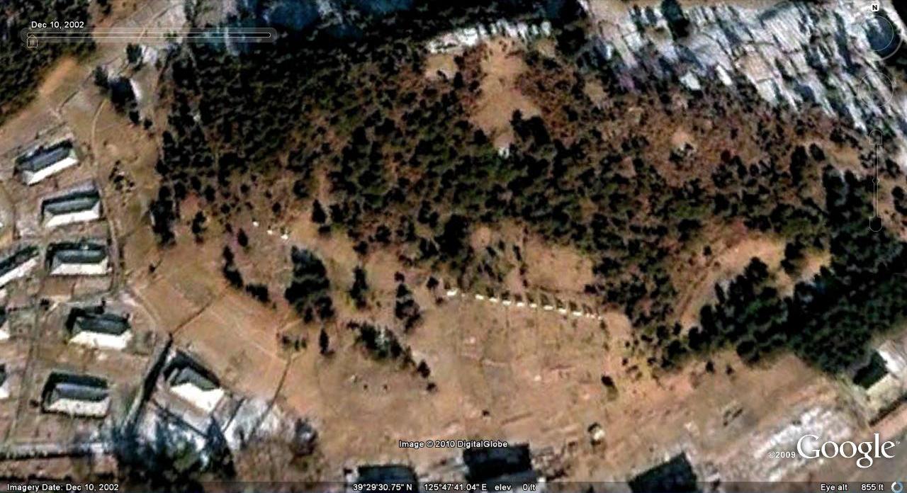
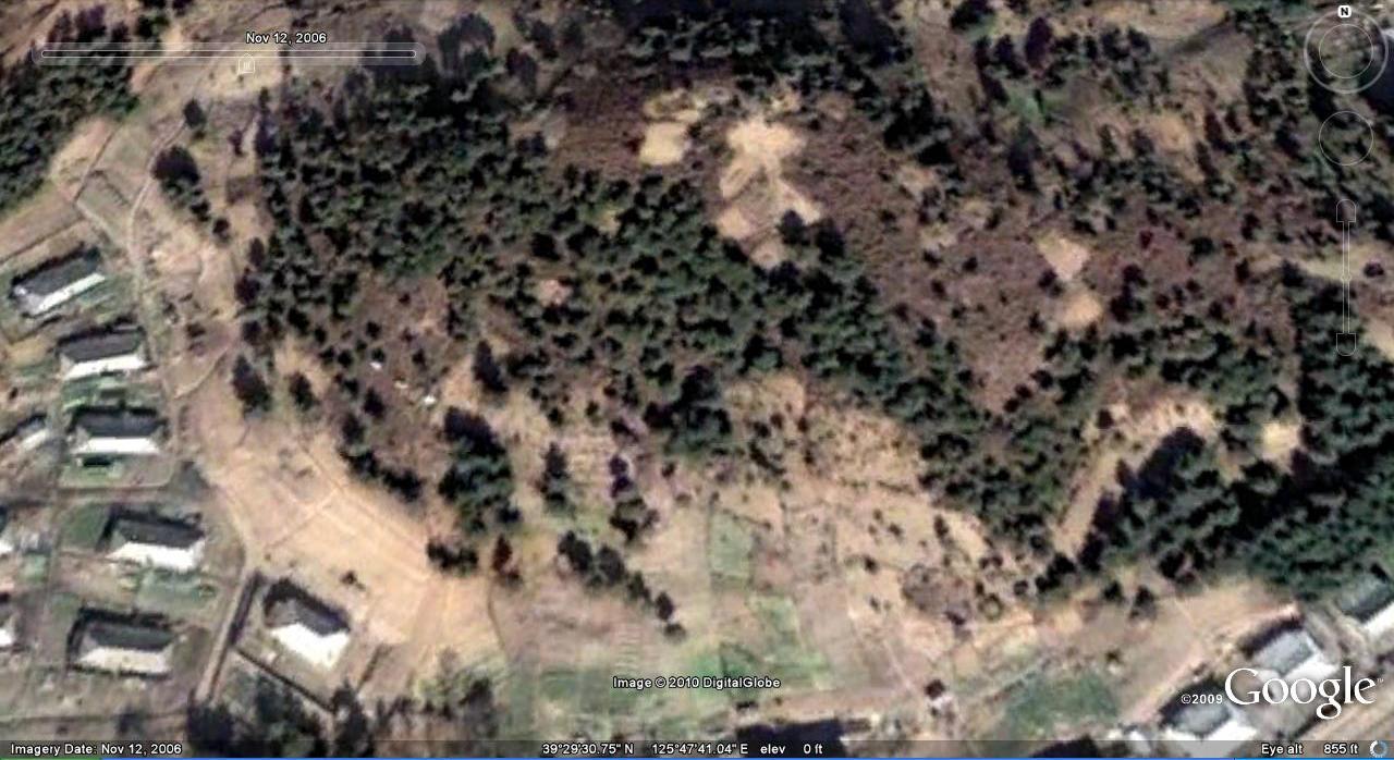
As I continue to make updates to the North Korea Google Earth project, I have begun mulling over the idea of Google Earth as a historical document. Being new, I believe it is underused by the academy, but it really is amazing what Google Earth captures in its historical imagery that would be lost forever–were it not saved in this software. Here are a few minor examples from North Korea:
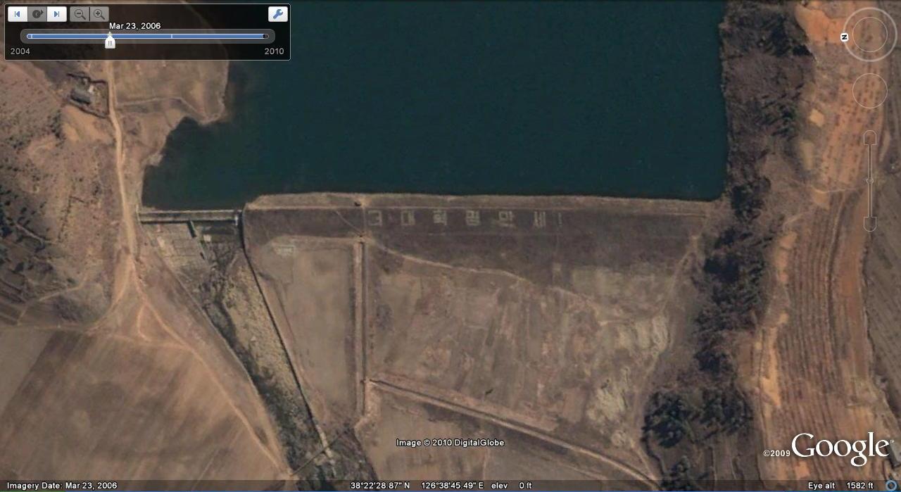
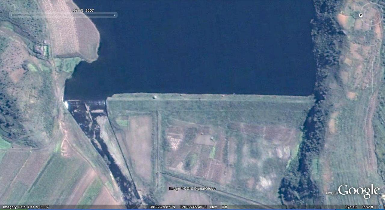
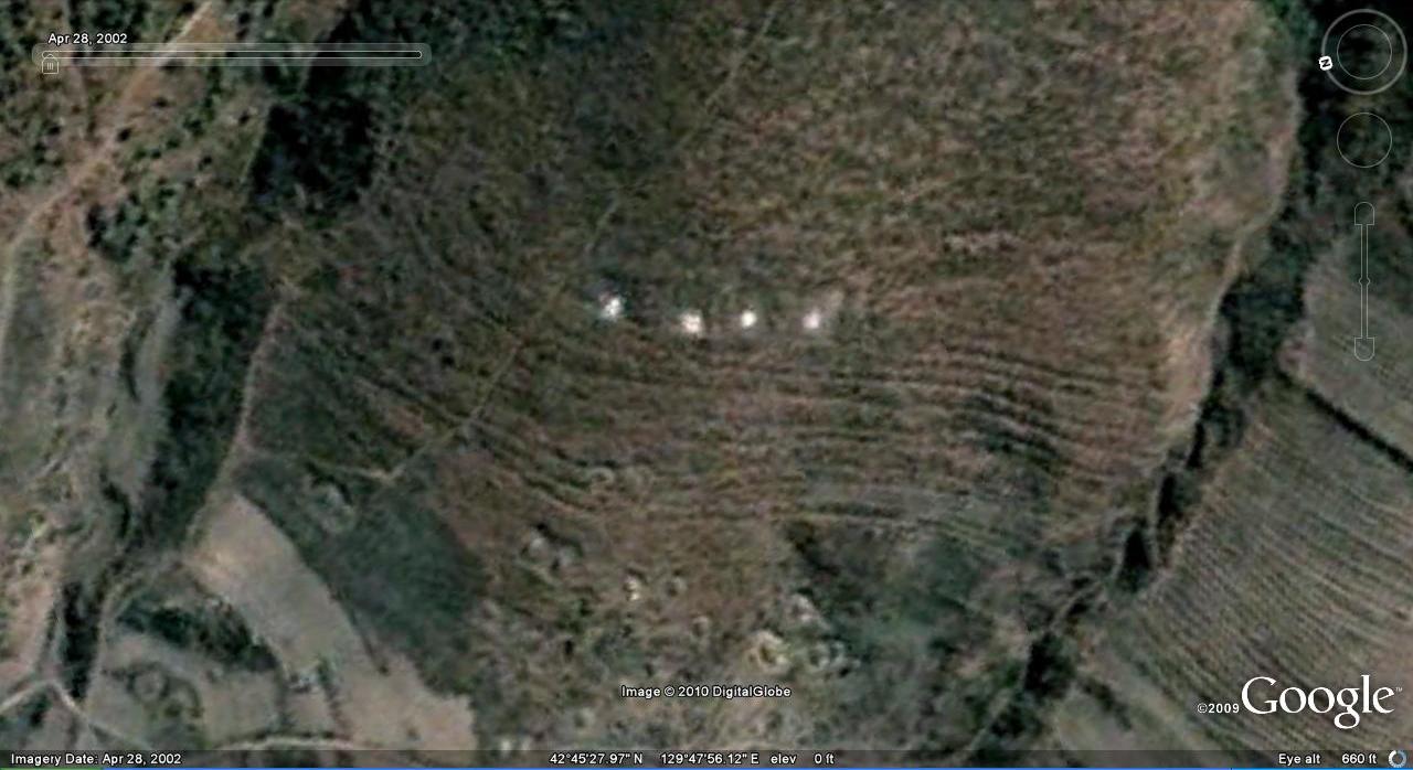
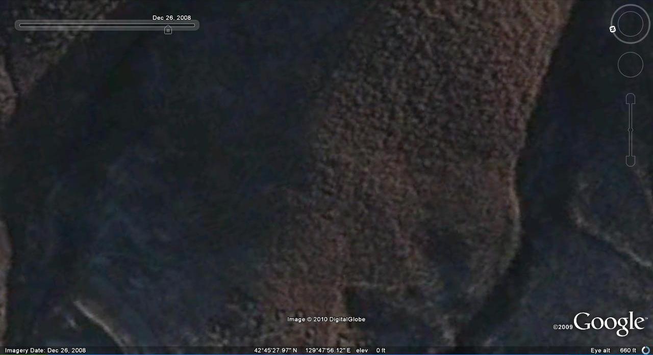
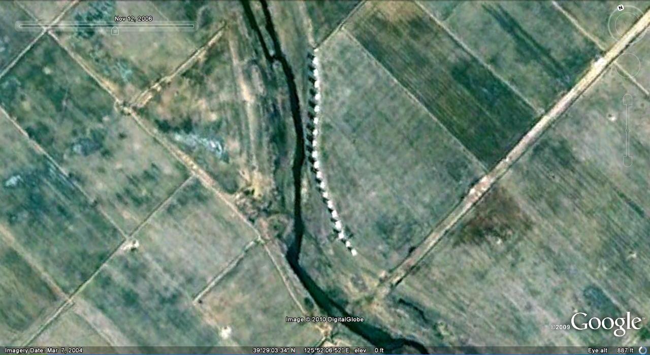
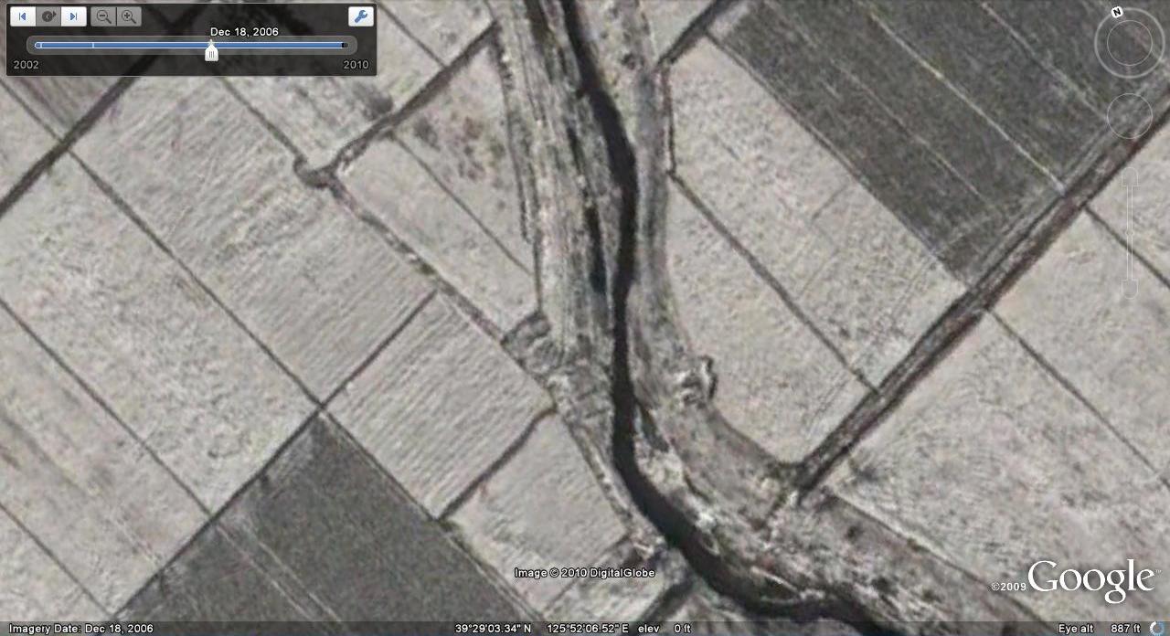
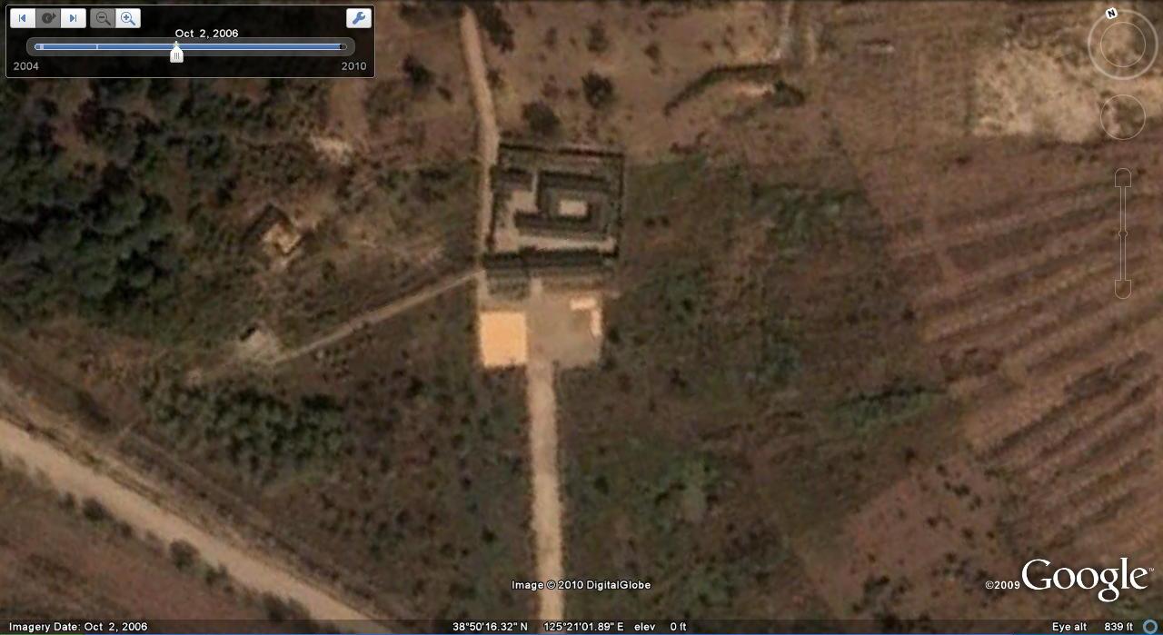
Sometimes the Propaganda goes away:
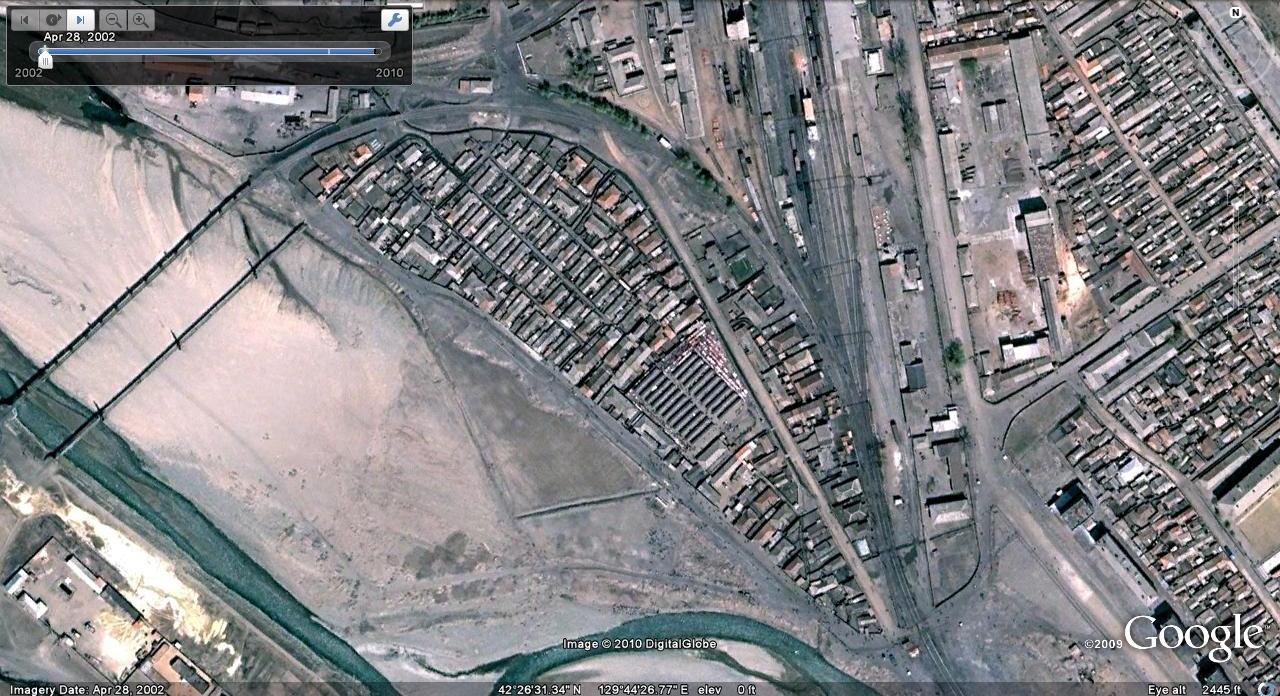
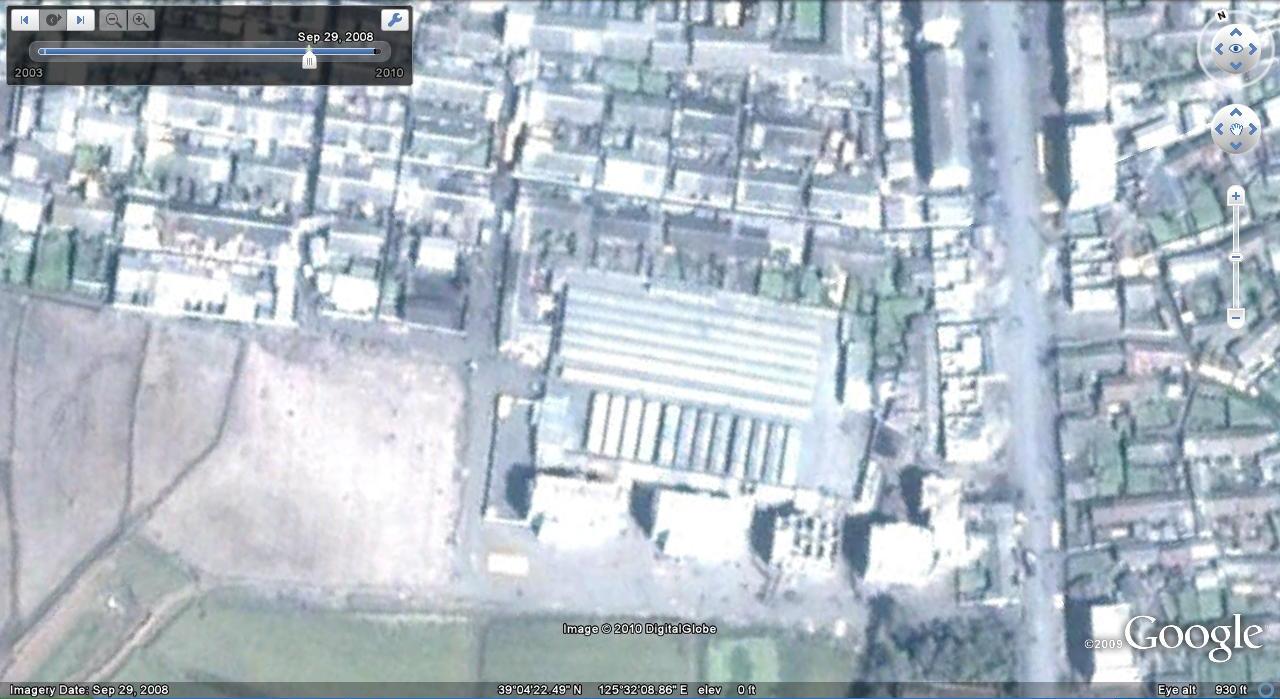
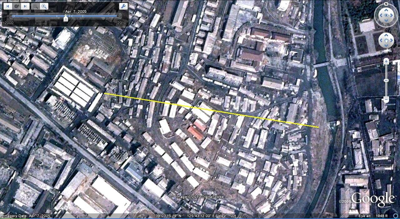
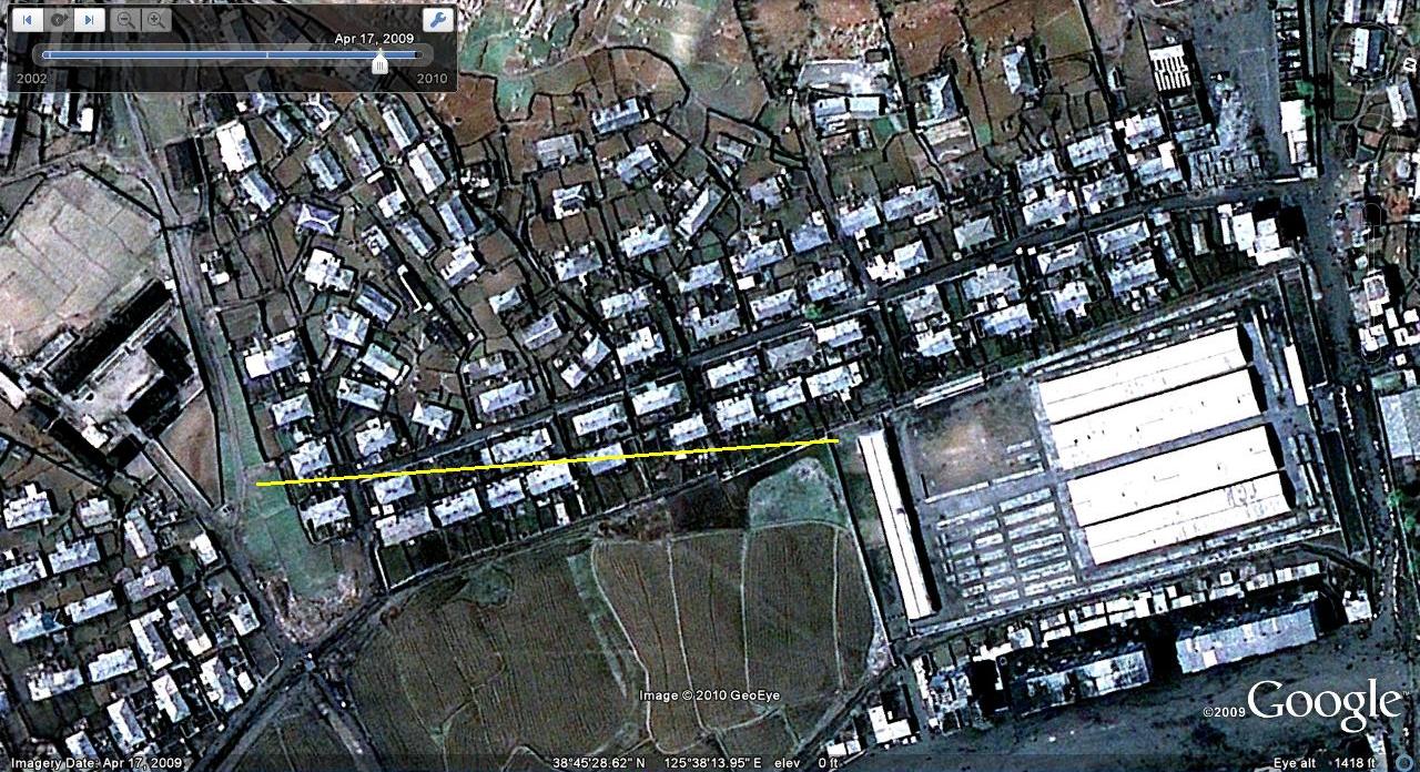
Hoeryong market: Hoeryong has undergone significant changes in the time between 2002 and 2008 (when the Google Earth images were taken). It is well worth checking out all of the changes, but I point out below how the market has been moved farther from the town center and displaced a high school. It looks like a new building is going up where the market used to be:
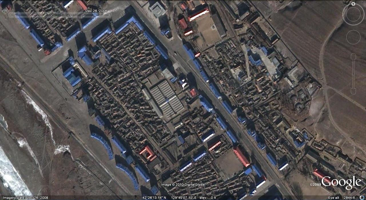
Other Market expansions: despite the regime’s crack down on market activity in the last few years, we can see how these markets have grown (in number and scale) on Google Earth:
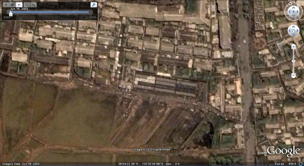
This market in Pyongyang was closed and moved to a better facility
This street market in Songrim also got a recent upgrade:

Here is a previous post on a Sinuiju market upgrade.
Here is a previous post on Haeju’s upgraded markets.
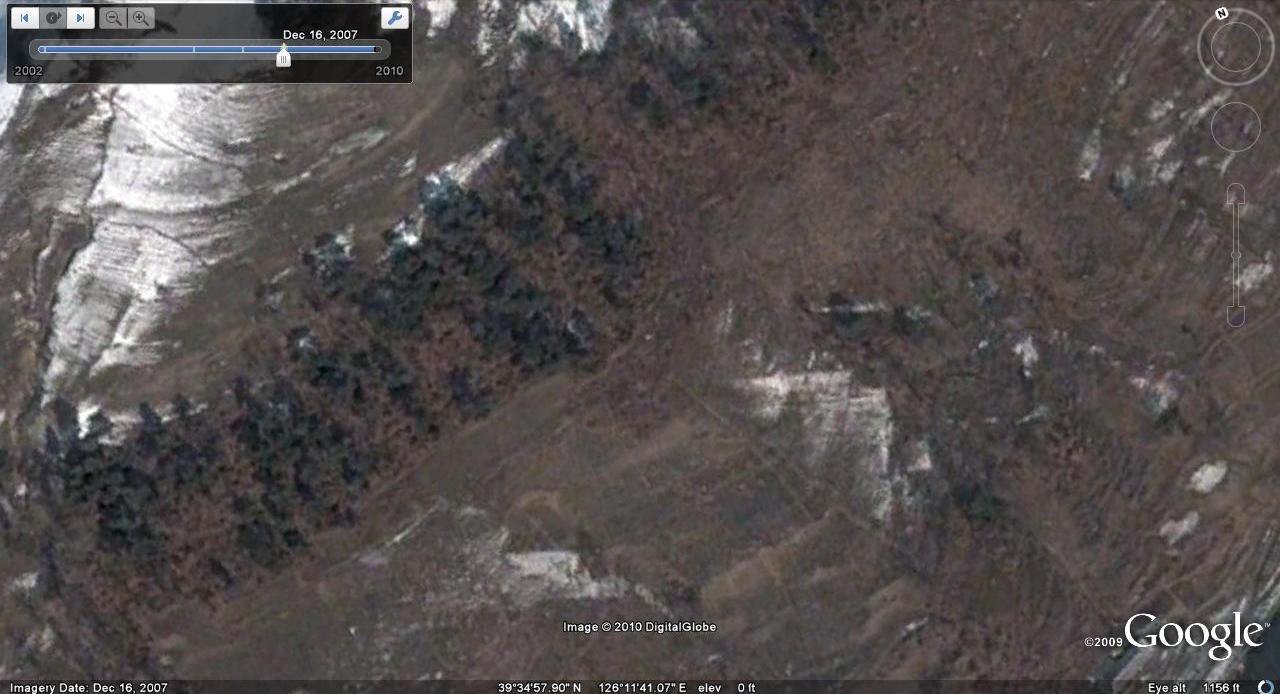
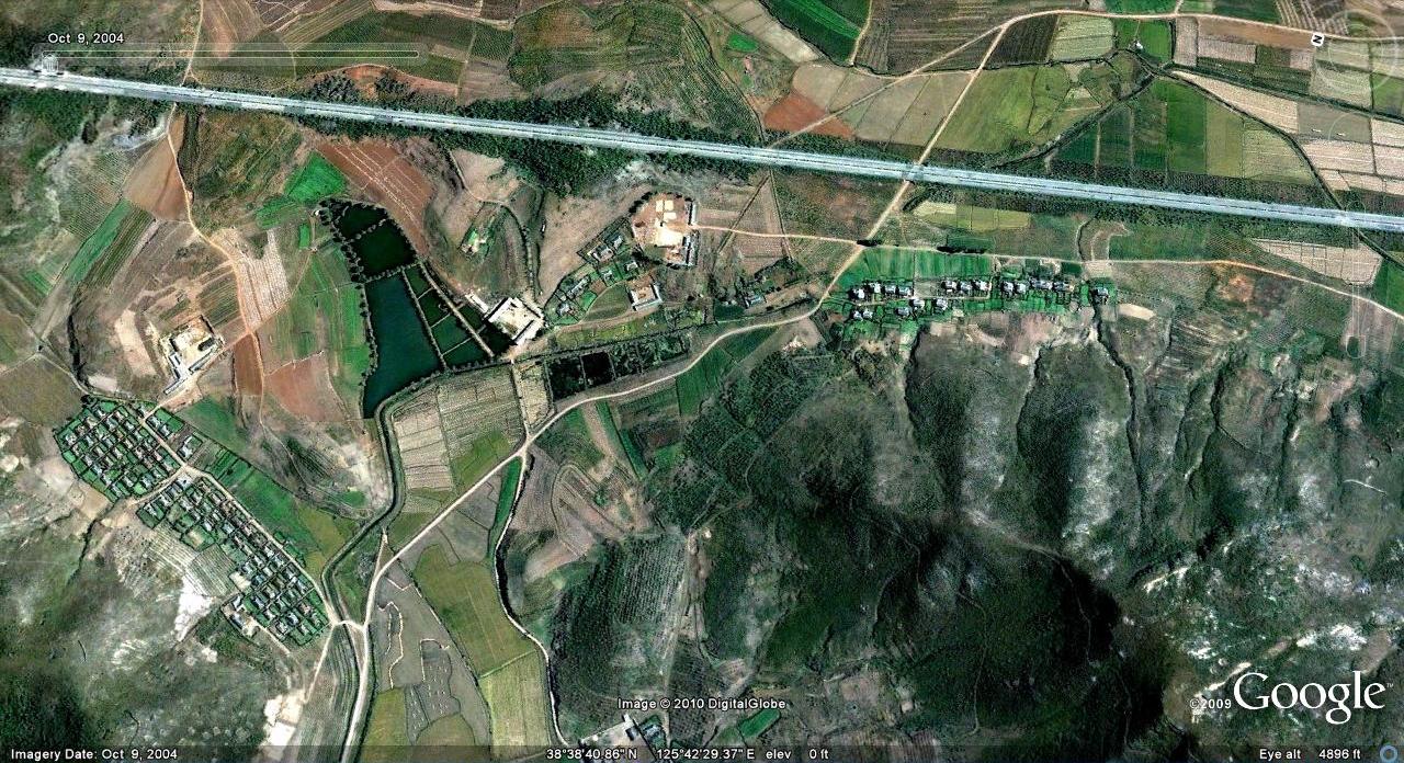
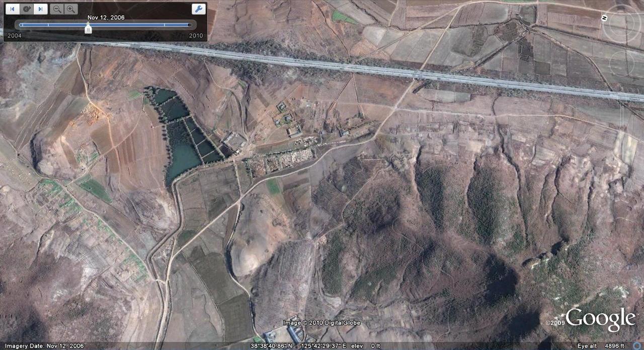
Villages removed: Some entire villages have been torn down.
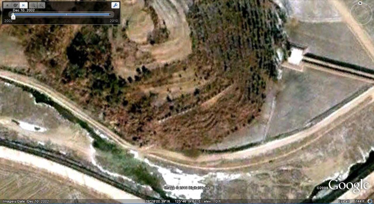
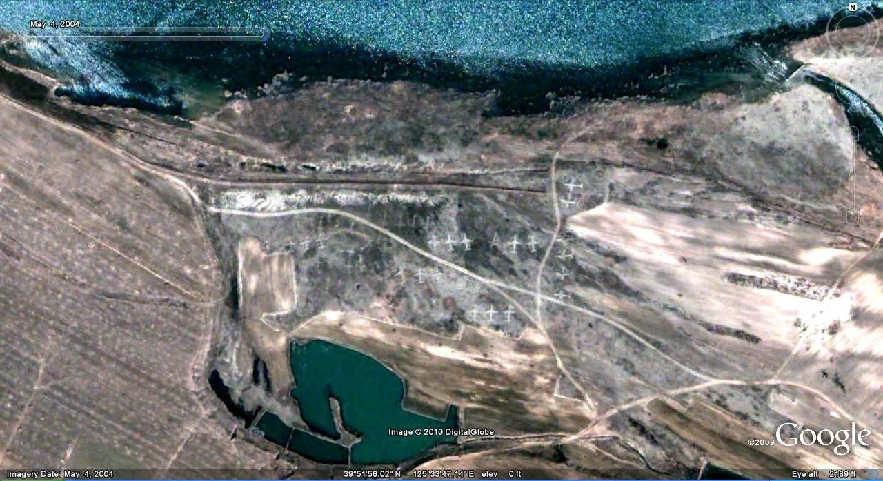
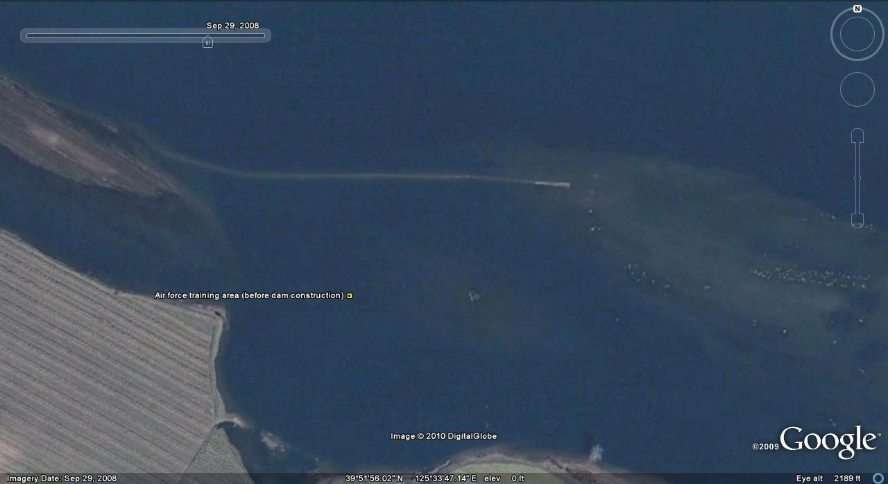
Environmental impact of new projects:Such as dam construction…
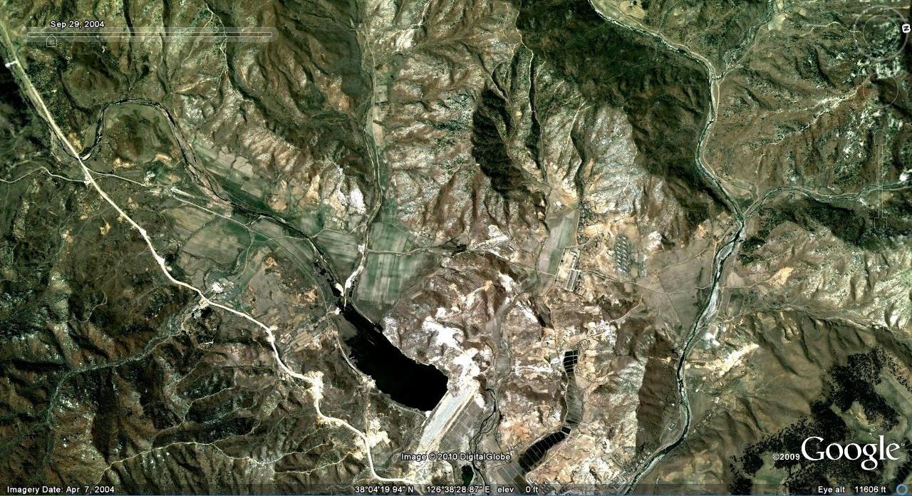
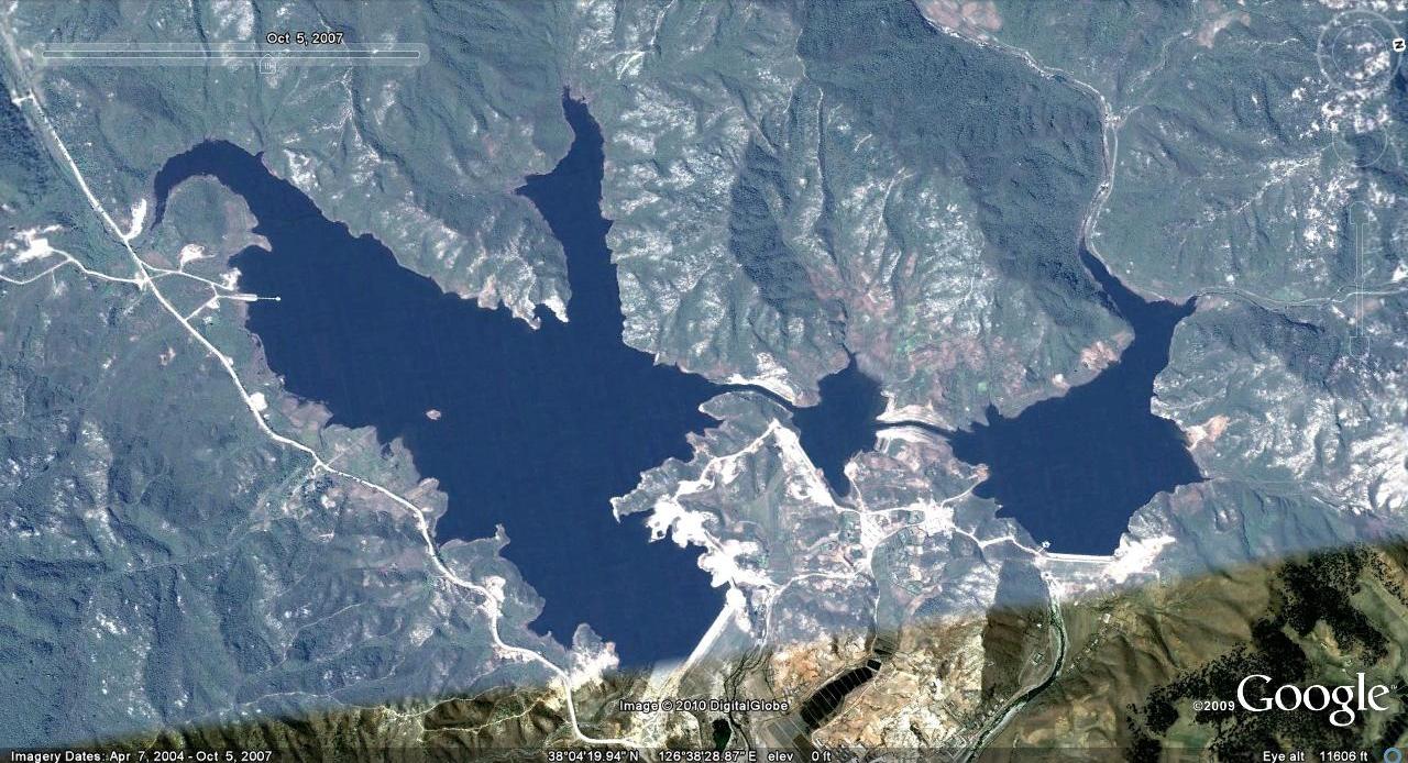
There are plenty of pictures of dam construction which you can easily access. The dam below flooded a former air force training area:
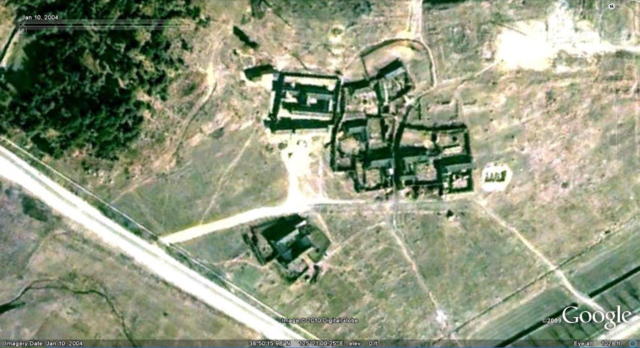
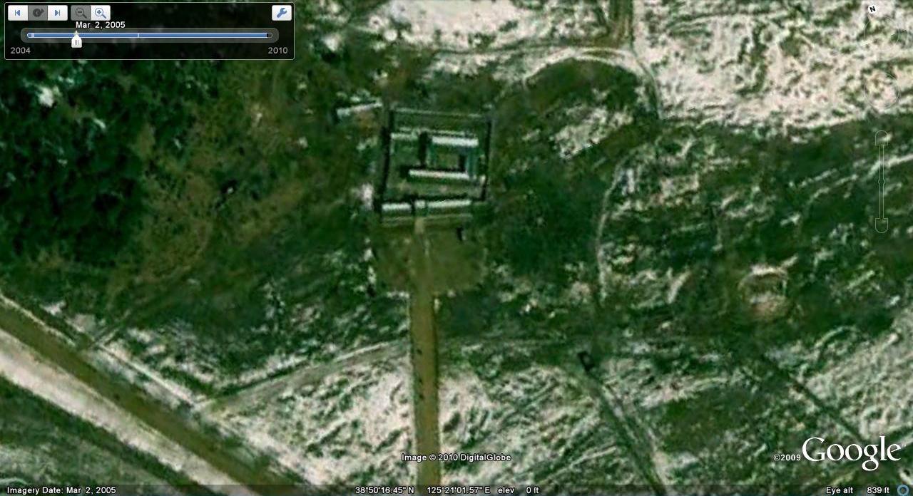
Historical restoration: Kim Ung So House (North of Nampo).
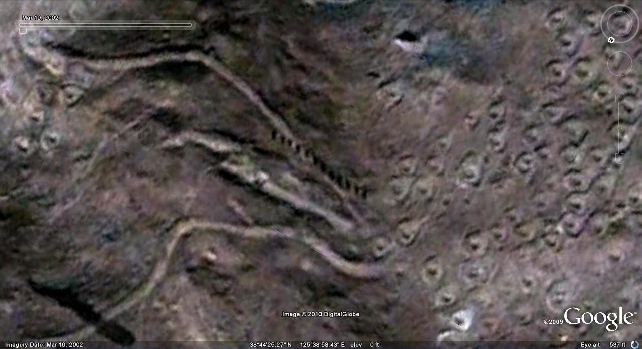
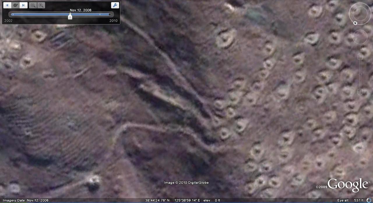
Seeing through the camoflauge: POL storage
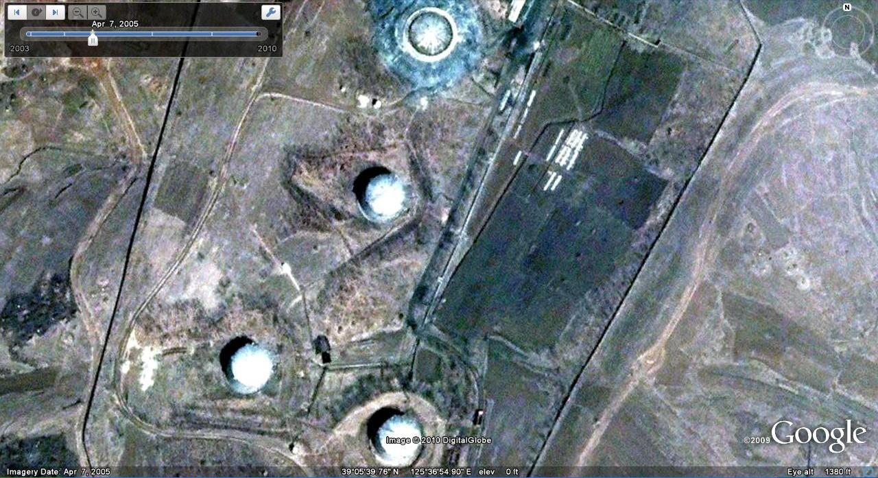

Some of this was picked up in an RFA article here.

Great work! Another fine example of what GE brings to light are the five or so villas that have been torn down and razed completely on the Kim main Residence 55 compound proper, adjacent to the pool, at some point in time between 2000 and 2005. Check out the 39° 7.357’N, 125° 48.728’E area.
The villas had been standing at close quarters to what is said to be both Kim Jong Il’s and Jang Song Thaek’s Big Homes. So that would likely make them members of the innermost circle. I seem to remember that Jang Song Thaek’s daughter took her life in Paris in 2006. Perhaps GE tells us that she had been living there in exile because she got expelled from her family before 2005, in a much harsher way the eldest Kim living in Macao now did? And maybe those homes were the respective venues they both had been living in before?
interesting post. i have a question. what is POL ?
Petroleum, Oil, Lubricants
The pictures detailing the removal of the villages are disturbing. Is that a rail main line just to the north of the former villages? Could they have been removed for “security” reasons?
The villages were located near the Pyongyang-Kaesong expressway just west of Hwanju. It is probable that the residents were moved into newer housing at a different location
If I may make a small correction: those data would not be lost without GE they exist in archives all over the World. Access to them would be considerably reduced but the data would still be there for intelligence analysts and academics (amongst others). I am not sure if by the Academy you mean academia in general, but if so I can assure you GE is becoming a widespread tool. We use GE in teaching in many undergraduate and masters courses.
In research it is used more sparingly, partly perhaps because of the onerous limitations of the license agreement. This makes using the data in publications difficult and precludes using GE as a base for digitising new vectors. Furthermore, Google will not answer specific questions regarding licensing in such cases. DEM quality, positioning accuracy and the precise timing of image acquisitions are also issues that scientist might like to see resolved.
I admire what you’ve done with GE and agree with many of your sentiments regarding the tool, so I hope you don’t feel I am being too pedantic in my comments.