According to Lankov and Kim’s “North Korean Market Vendors: The Rise of Grassroots Capitalists in a Post-Stalinist Society” there is an electrified perimeter fence surrounding North Korea’s first “special economic zone,” Rajin Songbon.
I have spent a lot of time looking at this area on Google Earth, but never seen the electrified fence. Last night, however, I found it. Before reading Lankov’s article, I thought it was a highway, or highway construction, on account of its approximate 35 mile/56 km length (as calculated using the Google Earth ruler). The image of the perimeter (shown below) will be added, along with a few other new locations, to the next version of North Korea Uncovered (due in early August).
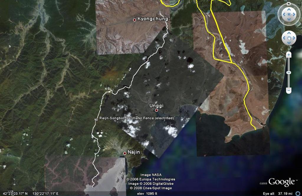
Click on image for larger version
And in case you missed it, Lankov’s article mentions North Korea’s largest market in Pyongsong. Satellite imagery of this location is below.
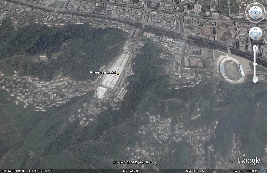
Click on image for larger view
