I have previously noted changes to Camp 14 (Kaechon) and Camp 25 (Chongjin). Here we have a look at Camp No. 16, the interior of which to date has not been comprehensively mapped for any publication (Joshua has some info on the perimeter here).
Kwanliso No. 16 lies within the borders of Orang and Myonggan (formerly Hwasong) counties.
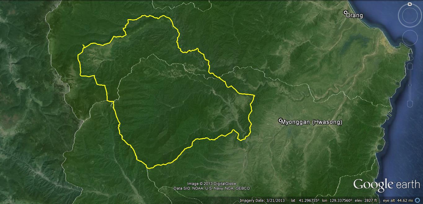
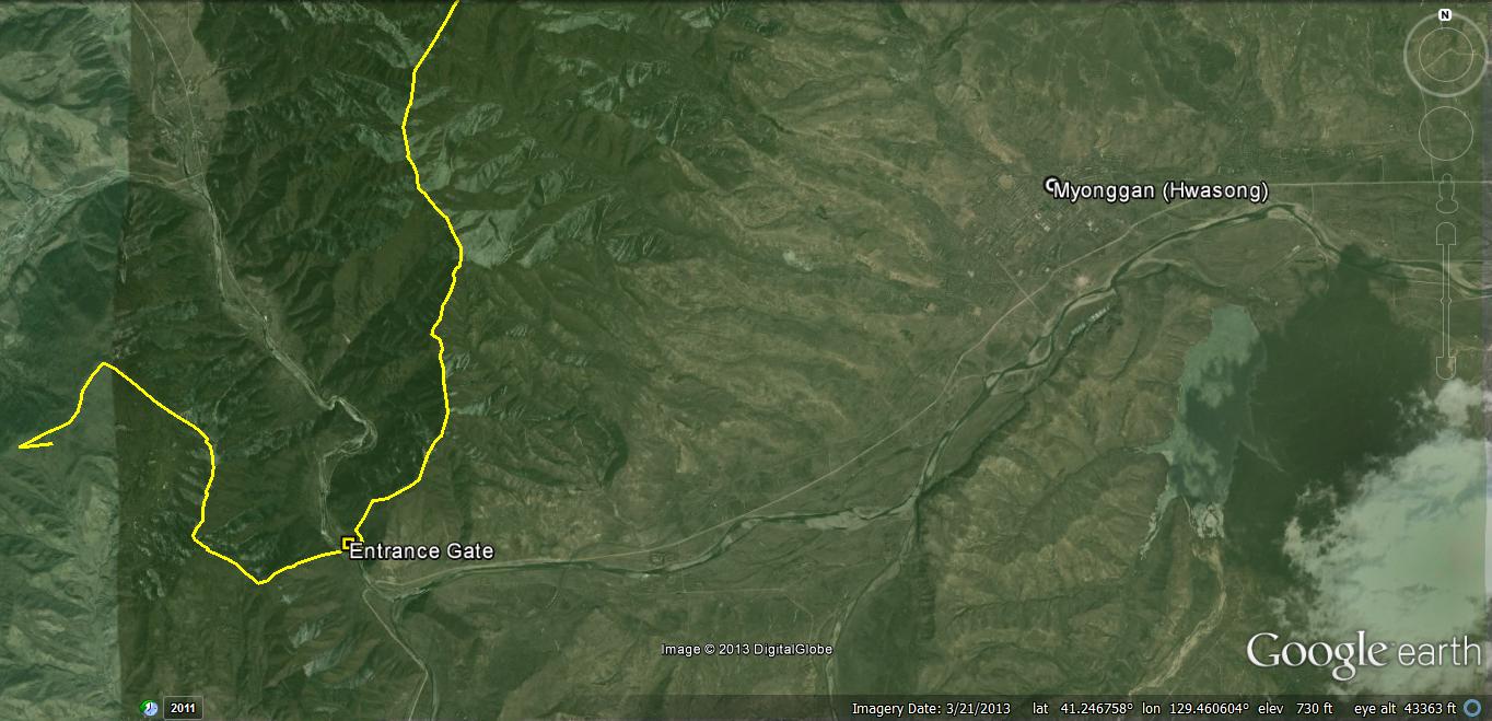
The entrance to the prison camp lies just 8km from the outskirts of the town of Myonggan (formerly Hwasong).
First let’s look at new residential construction in the camp.
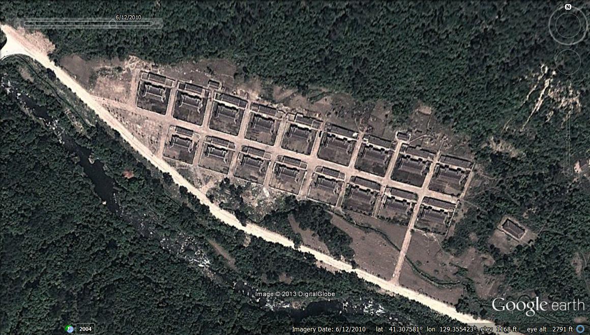
Area 1 coordinates: 41.317569°, 129.336758°
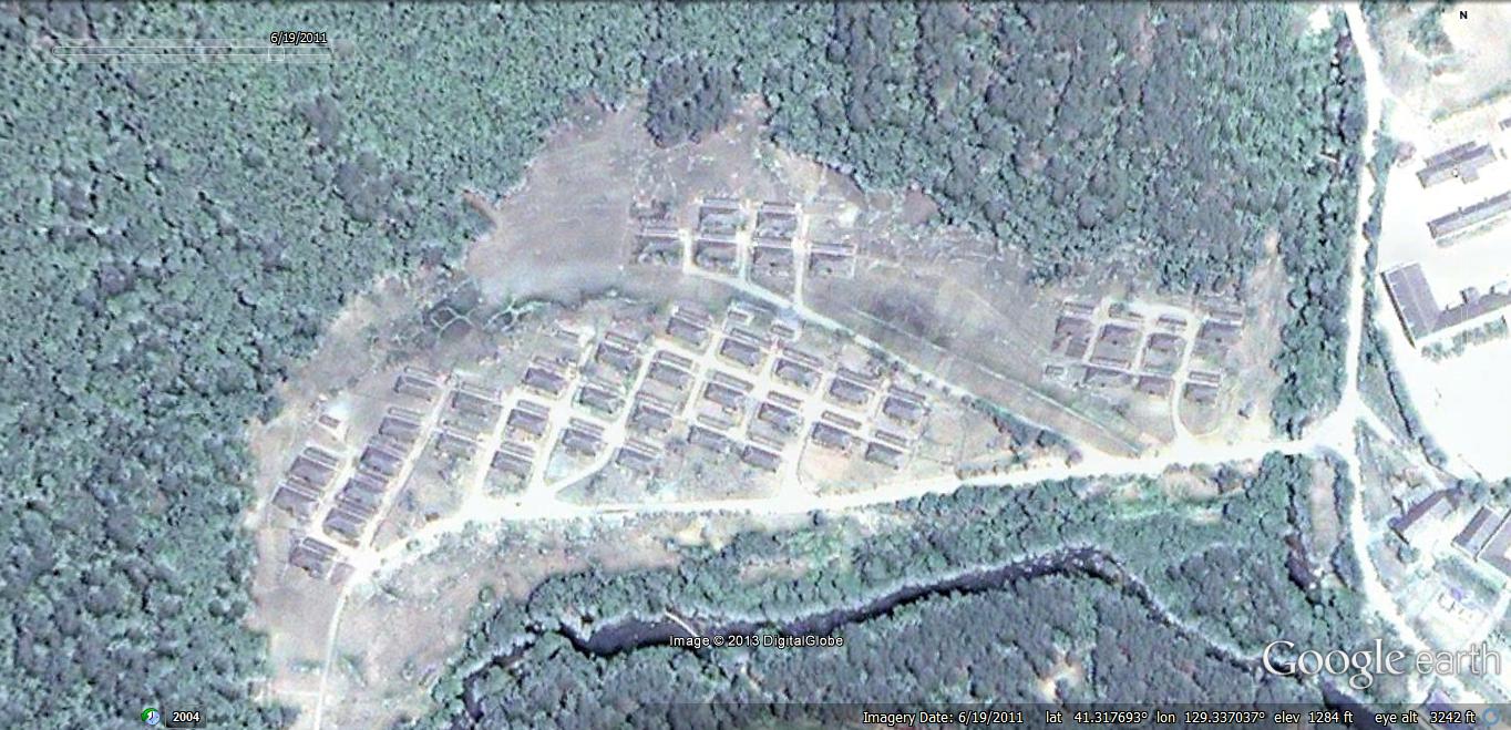
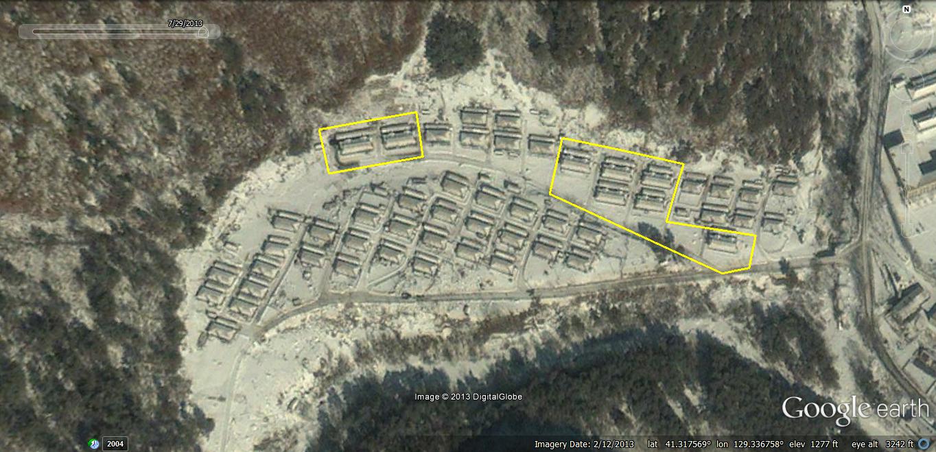
Between 2011-6-19 and 2013-2-12 the number of housing units in this area increased 18% from 43 to 51. The new buildings appear to be similar to the incumbent buildings, which were constructed before 2004-6-12 (the earliest available commercial imagery). It is impossible to determine from satellite imagery how many individuals live in each building, but the approximate dimensions of each building are 16m x 7m.
Area 2 coordinates 41.313945°, 129.345299°
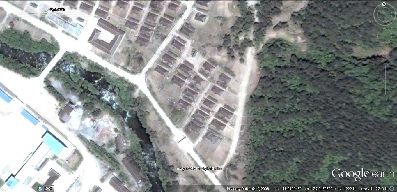
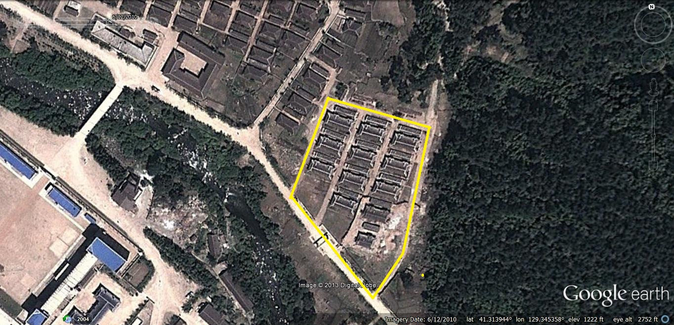
In this area, 14 housing units were torn down and replaced by 11 housing units sometime between 2008-6-10 and 2010-6-12. These newer housing units seem slightly larger, but it is unclear how they are distinguished from those they replaced.
Nearby, six housing units were added between 2010-6-12 and 2011-6-19.
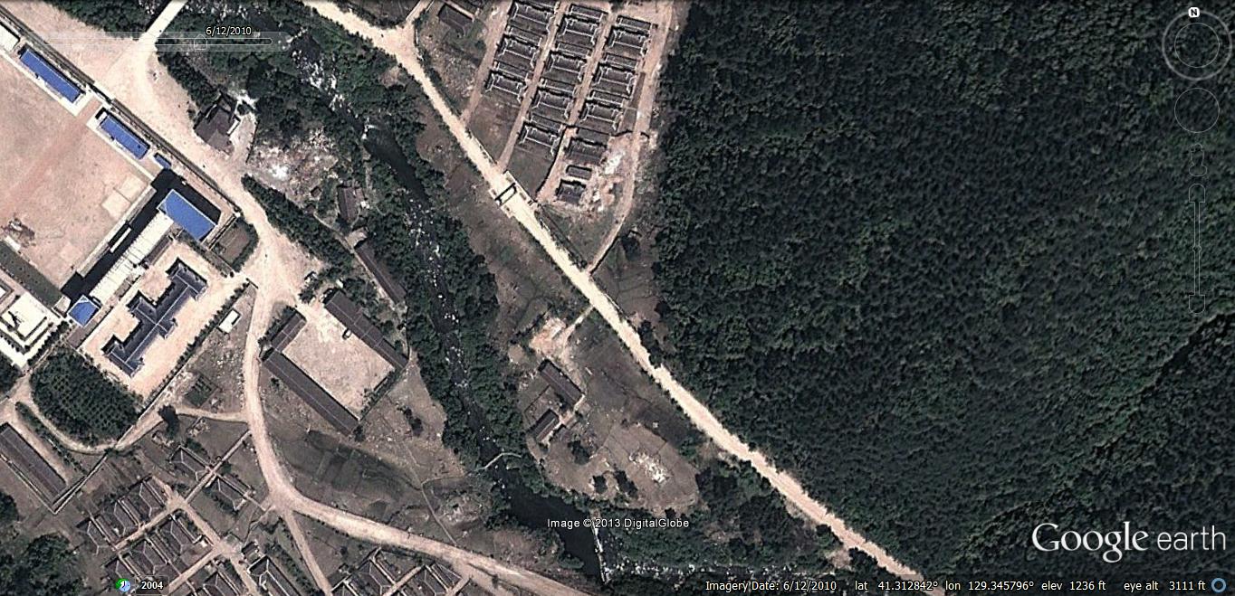
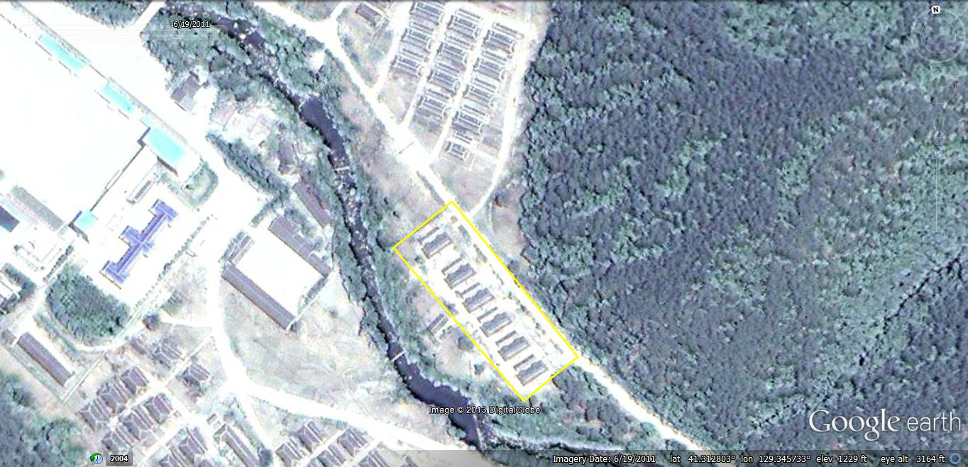
Just 700m southeast of here, construction on another 17 housing units were completed sometime between 2008-6-10 and 2010-6-12.
New Facilities:
Area 1: 41.305616°, 129.420913°
There is also some new non-residential construction inside the camp’s perimeter the purpose of which remains unknown to me.
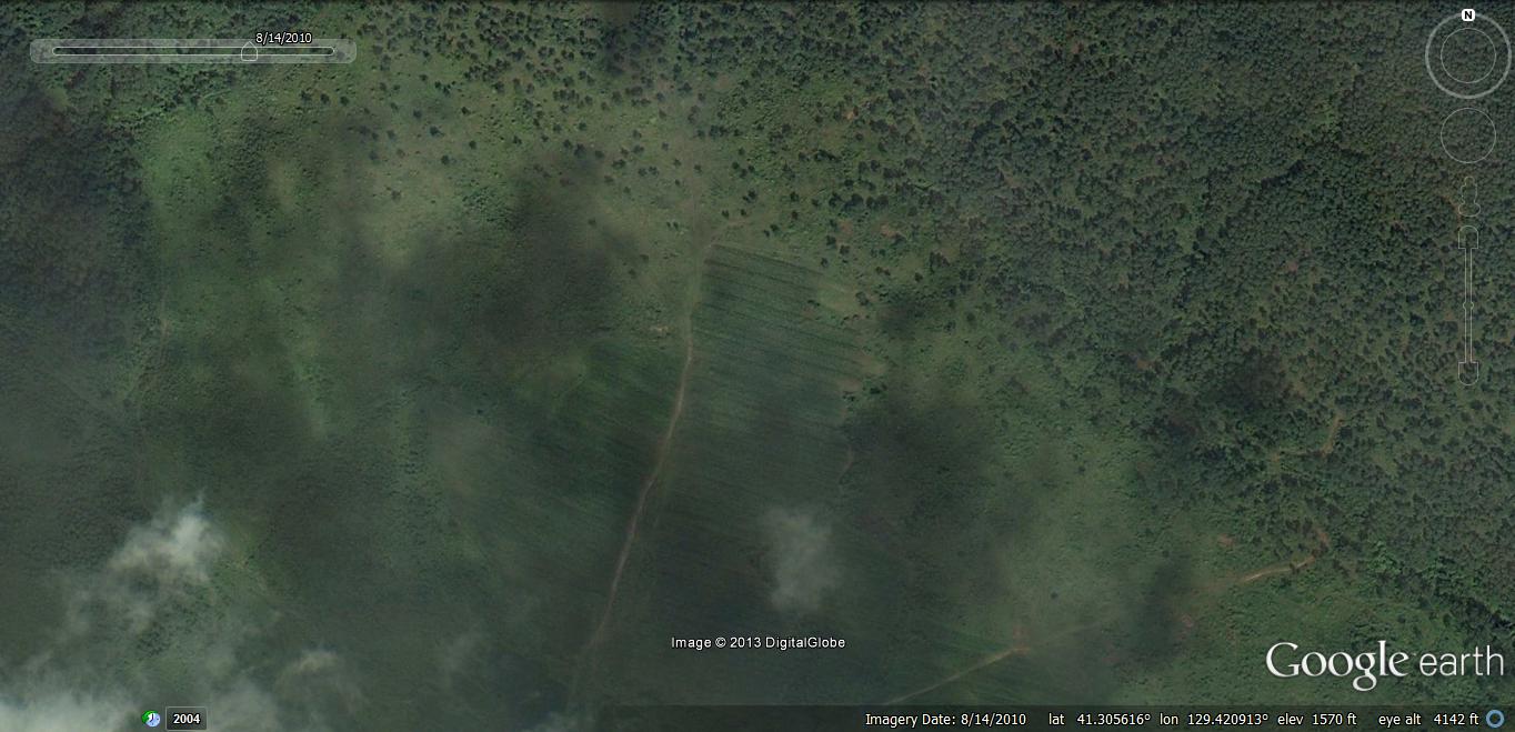
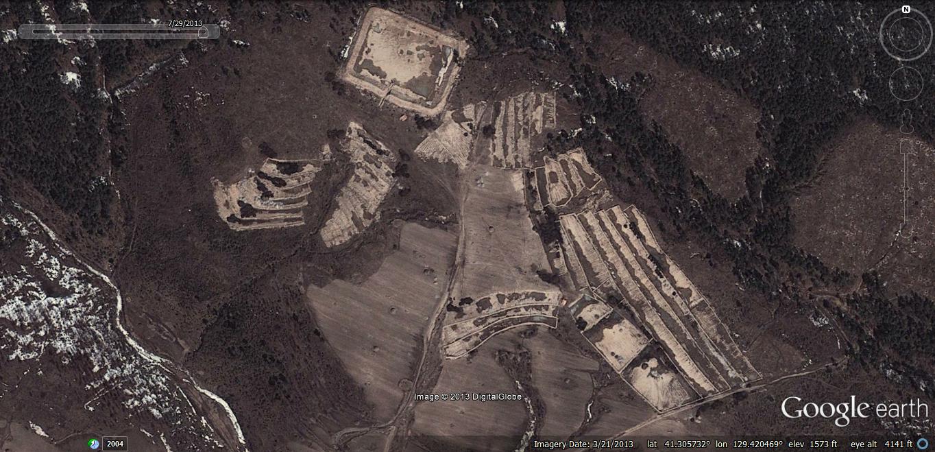
I suspect that this is a fishery and agricultural site, but I am not sure at this point. Construction started sometime between 2010-8-14 and 2013-3-21.
Area 2: 41.309849°, 129.347631°
This is a new building for a purpose that remains unknown. The building was constructed between 2010-6-12 and and 2011-6-19:
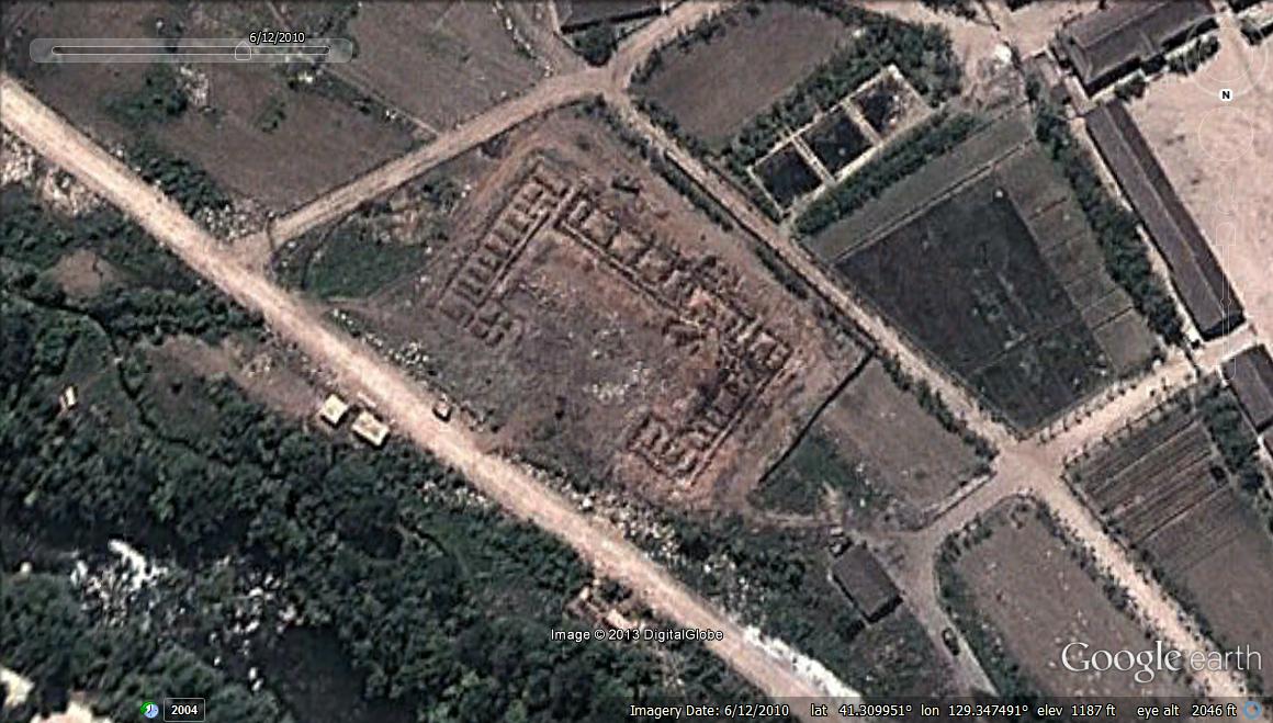
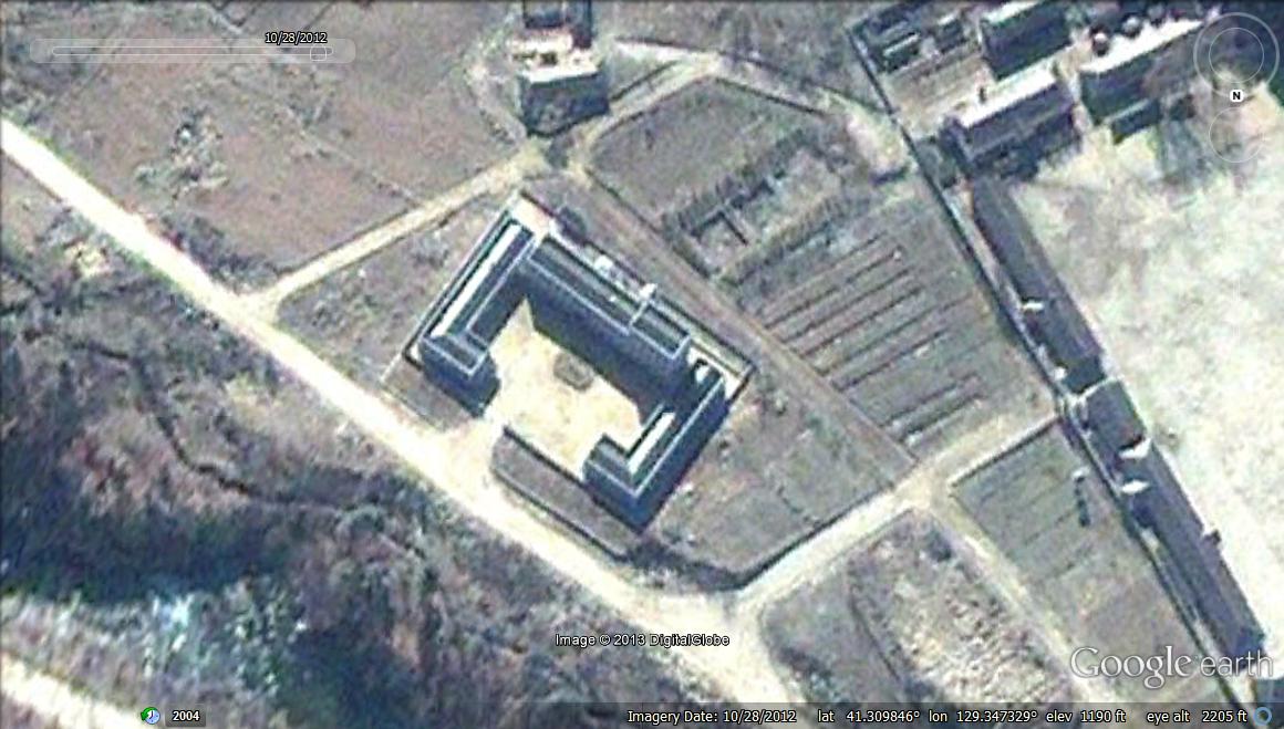
The perimeter is 75m x 42m.
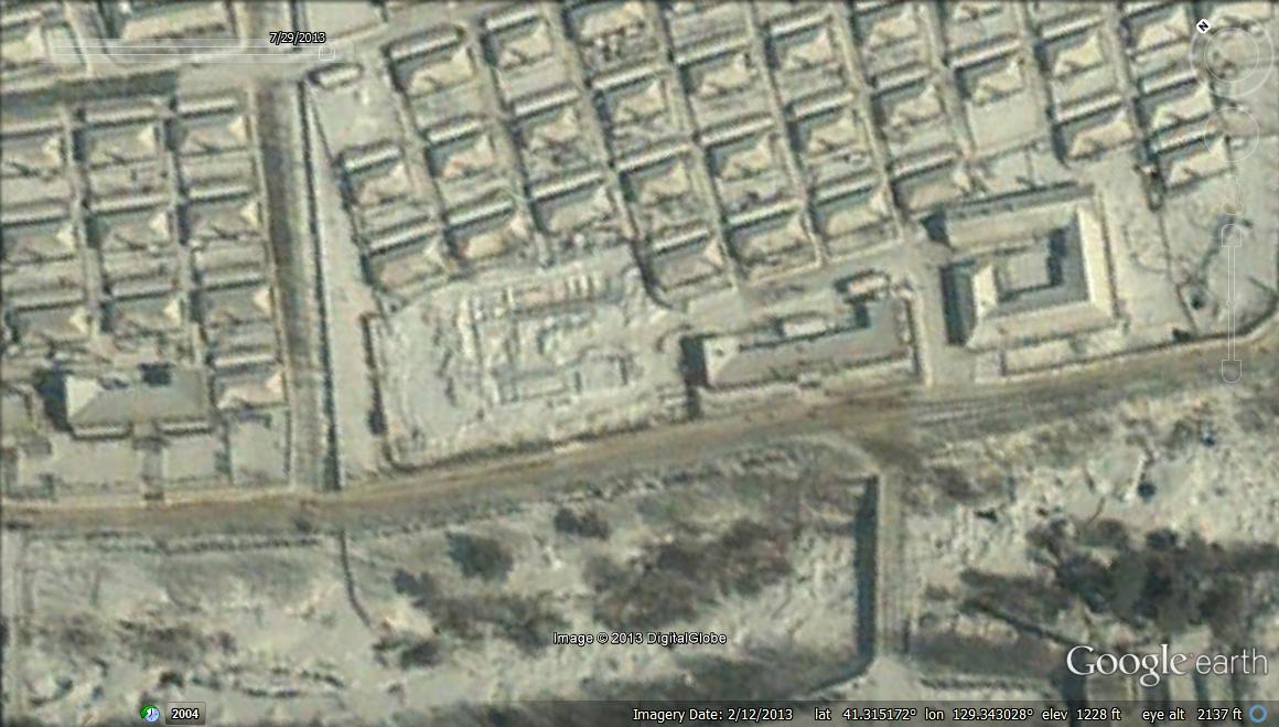
Area 2: 41.315346°, 129.342687°
A building appears to be under construction at this site. As of February 2012, not much progress has been made.
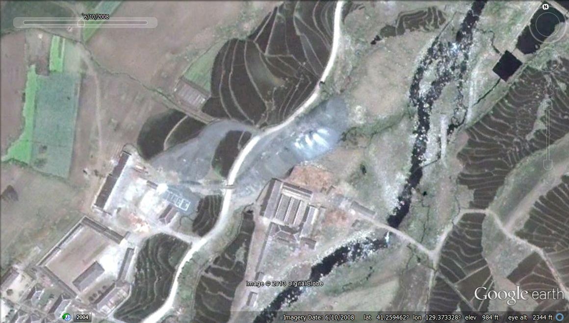
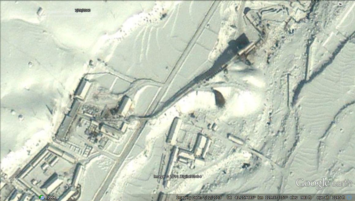
Area 3: 41.259485°, 129.373353°
This coal mine has been growing consistently between 2008 and 2013. It is unclear what happens to the coal.
Foreign Exchange
Unfortunately satellite imagery also reveals that the camp likely earns hard currency by exporting timber, which it has been doing since at least 2004:
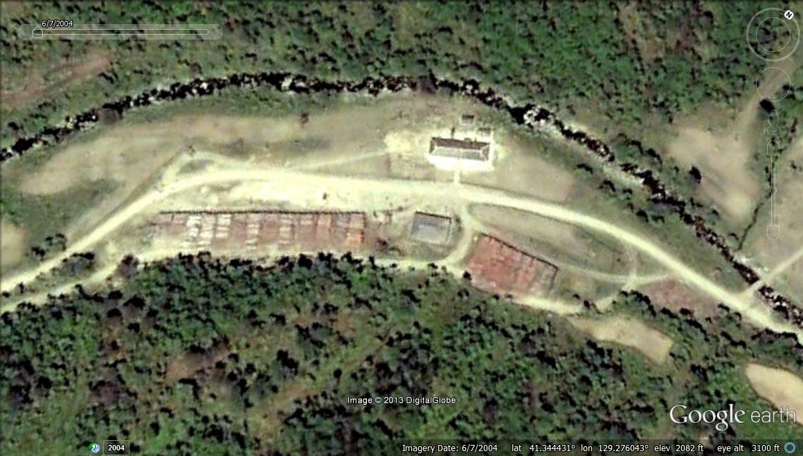
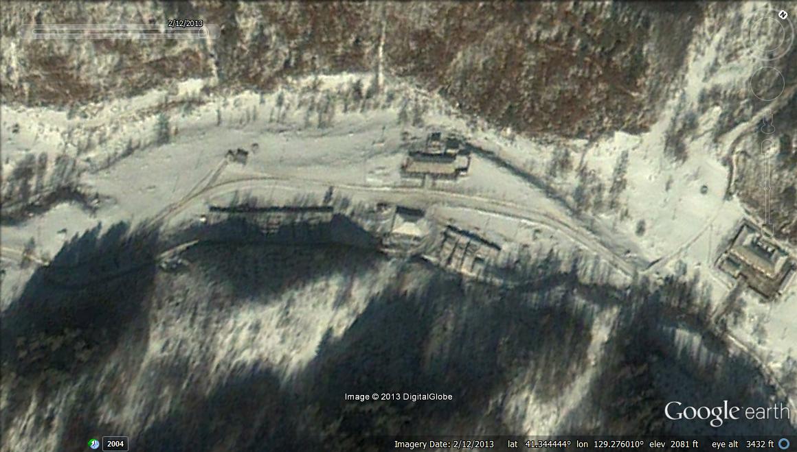
I do not know where the timber goes once it leaves Camp 16. Those with deeper pockets than me can purchase satellite imagery of the trucks hauling it away or try to obtain information from the handful of North Korean defectors that may know the answer.
